 Anou al Moris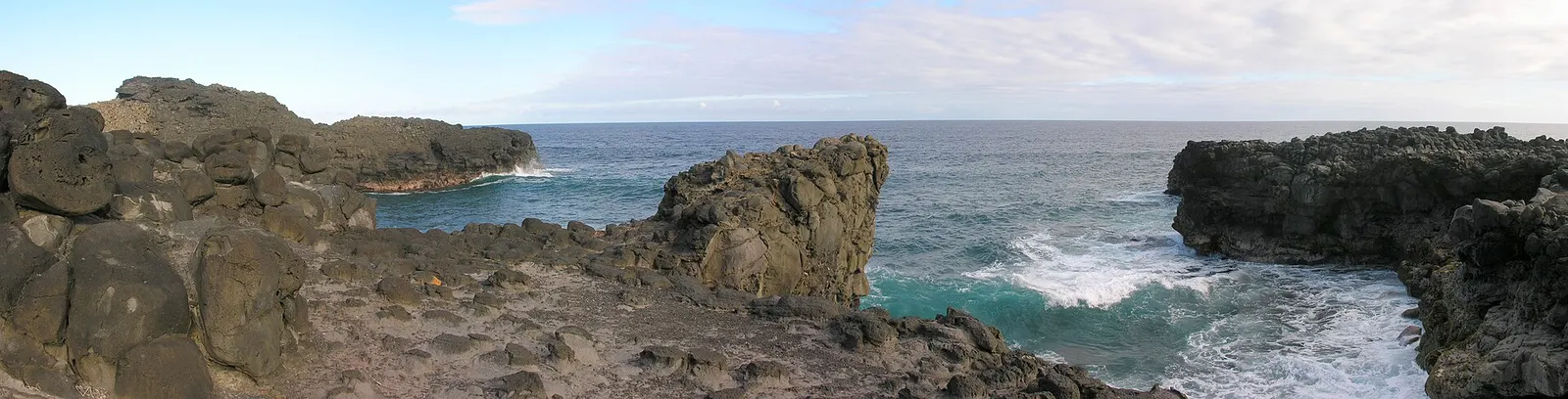
🚶 Walks · South-East
Wild coast walk: Le Bouchon → Pont Naturel → Le Souffleur
The wildest stretch of the south-east: from Le Bouchon along basalt cliffs and empty coves to the sea arch of the Pont Naturel and the blowhole of Le Souffleur.
West of Le Bouchon there's no road along the shore, only a path over the black basalt and grass, with the ocean crashing against the rocks: Îlot Brocus, then the Pont Naturel, a natural arch with the sea surging underneath, and Le Souffleur, where waves shoot up through a hole in the rock.
About 5 km one way on rough ground. It links the Blue Bay → La Cambuse → Le Bouchon walk to the Savinia → Le Souffleur walk: the whole coast from Blue Bay to L'Escalier is a beautiful, demanding day (arrange a pick-up at the end).
- Pont Naturel and Le Souffleur
- Basalt cliffs and wild surf
- Nobody else around
Trail map
Traced along the shoreline: walk on the grass and rock a safe distance from the edge.
Trail traced on OpenStreetMap paths: check the signs on the ground, and take the OSM or an offline map app (Organic Maps, maps.me) with you.
What to expect on this walk
- 📍 Where it starts
- Le Bouchon public beach (≈ 1 h 10 from the villa).
- 🧭 The route
- West along the rocky shore past Îlot Brocus to the Pont Naturel, then on to Le Souffleur (≈ 5 km).
- 🪨 Terrain
- Sharp basalt rock and grass; uneven, no shade.
- 👁️ Views
- The sea arch, the blowhole and the wild surf.
- 🌅 Best light
- Early, before the heat; the spray is biggest with a southerly swell.
- 🚧 Obstacles
- Sharp basalt
- Cliff edges
- No path in places
- 🌊 Tide
- Fine at any tide.
- 🏊 Swimming
- No reef: never swim on this coast.
- 👟 Footwear
- Proper shoes with grip: rock, roots or mud (not flip-flops).
- 🔁 Getting back
- One way: arrange a pick-up at Le Souffleur / Savinia (rough access track).
- 🦟 Insects
- None.
- 💧 Water
- None: bring all your water.
- 👥 Crowds
- Very quiet.
- 📶 Phone signal
- Patchy.
- 🎒 Bring
- Hiking shoes (sharp rock) · 2 litres of water each · Hat and sunscreen · Snack
- Le Bouchon
- Pont Naturel
- Le Souffleur
Getting there
🚗 By car: 1 h 10 (57 km) off-peak. Le Bouchon public beach; arrange a pick-up at Le Souffleur / Savinia (rough track). Directions in Google Maps ↗
Tips
- 💡 Sharp rock: proper shoes, not sandals.
- 💡 Stay well back from the edge in a big swell.
- 💡 No water on the way: carry 2 litres each.