 Anou al Moris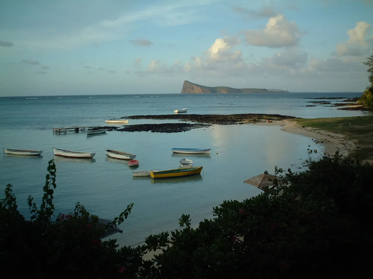
🚶 Walks · North
Coastal walk: Pereybère → Cap Malheureux
A coastal walk in the north, from the lively cove of Pereybère along small beaches and rocky points to the red-roofed church of Cap Malheureux.
Pereybère's small, deep lagoon is the north's favourite swimming spot. From there, follow the coast east: small coves, rocky points, the beach of Bain Bœuf, villas and fishermen's boats, with the islands of Coin de Mire, Flat Island and Gabriel in front of you, to the red-roofed church of Cap Malheureux.
About 5 km each way: walk one way and take a taxi or the bus back, or swim at Bain Bœuf and turn around.
- The northern islands in front of you
- The red-roofed church at the end
- Swims at Pereybère and Bain Bœuf
Trail map
Traced along the shoreline (OpenStreetMap coastline): walk on the firm sand near the water.
Trail traced on OpenStreetMap paths: check the signs on the ground, and take the OSM or an offline map app (Organic Maps, maps.me) with you.
What to expect on this walk
- 📍 Where it starts
- Pereybère public beach, just north of Grand Baie.
- 🧭 The route
- East along the coves and points, past Bain Bœuf beach, to the church at Cap Malheureux (≈ 5 km).
- 🪨 Terrain
- Sand, rocky points and short stretches of the coast road.
- 👁️ Views
- Coin de Mire, Flat Island and Gabriel on the horizon.
- 🌅 Best light
- Morning for clear views of the islands; the church of Cap Malheureux is lovely at sunset.
- 🚧 Obstacles
- Rocky points
- Short stretches on the coast road
- 🌊 Tide
- Easier at low tide (firmer sand, rocky points and river mouths easier to pass): check the tide table.
- 🏊 Swimming
- At Pereybère, Bain Bœuf and in the coves.
- 👟 Footwear
- Sandals or light shoes: some rocky bits and short stretches of road.
- 🔁 Getting back
- One way: the bus or a taxi back to Pereybère.
- 🦟 Insects
- None.
- 💧 Water
- Snacks and restaurants at Pereybère, Bain Bœuf and Cap Malheureux.
- 👥 Crowds
- Busy at Pereybère, quiet in between.
- 📶 Phone signal
- Good coverage.
- 🎒 Bring
- Hat, sunglasses and reef-safe sunscreen · 1–1.5 litres of water each · Sandals or water shoes (some rocky bits) · Swimsuit and a towel · Cash for a drink or a taxi back
- Pereybère
- Bain Bœuf
- Cap Malheureux church
Getting there
🚗 By car: 1 h 15 (60.7 km) off-peak. Pereybère public beach (parking along the coast road). Directions in Google Maps ↗
- 🚌 Bus: Bus back along the coast road to Pereybère. · 15 min · Rs 40–50 (CHF 0.7–0.9)
- 🚕 Taxi: Taxi back to Pereybère. · 10 min · Rs 400–600 (CHF 7–10)
Tips
- 💡 Some points are rocky: wear sandals and use the coast road for a few hundred metres where needed.
- 💡 It's a 70-minute drive: combine with a day in the north.