 Anou al Moris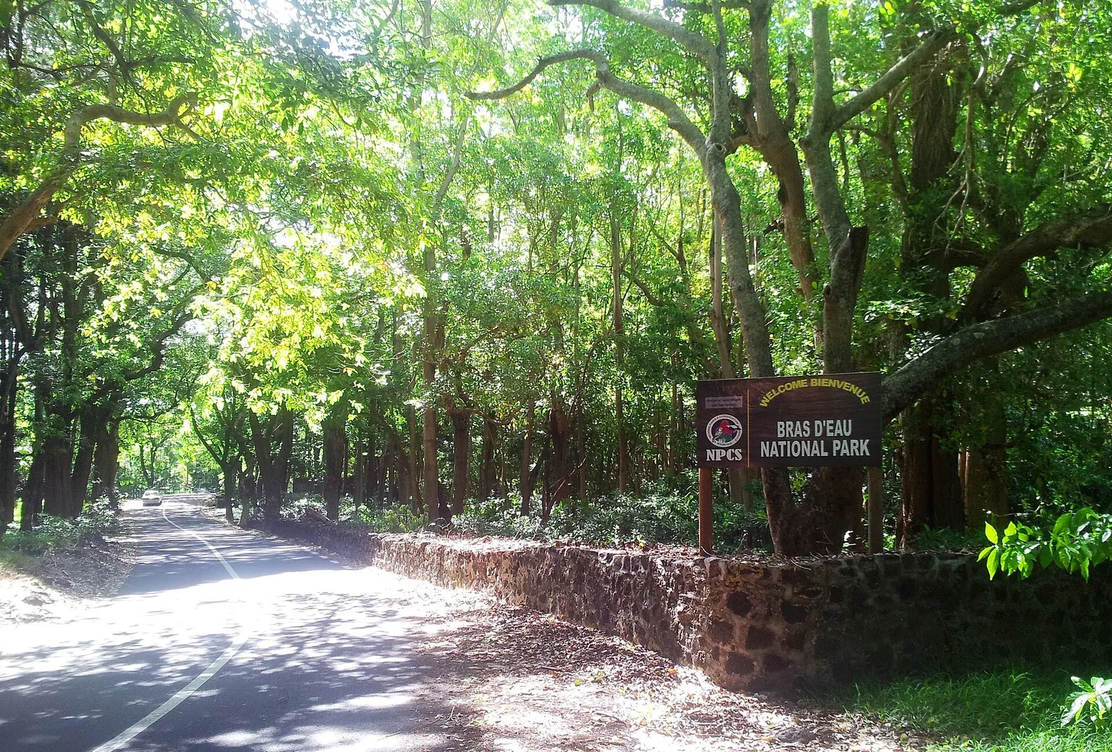
🥾 Hikes · North-East
Bras d'Eau National Park
Easy, shady trails through a coastal forest in the north-east, past old ruins and a pond with birds.
🚗 From the villa1 h 25 · 61 kmoff-peak estimate
⏱️ Time needed1.5–2 hnot counting the drive
🕓 Best time of day☀️ Morning · 🌤️ Afternoon
💰 PriceFree
🥾 Trail3.7 km · +21 mEasy · loop · guide not needed
Bras d'Eau National Park protects a flat coastal forest near Poste Lafayette. Marked trails (Mare Sarcelle and Coq de Bois) lead past a pond, the ruins of an old sugar mill and endemic trees, with paradise flycatchers and other birds.
An easy, cool walk if you're on the east coast: a break from beaches, not worth the drive by itself.
- Easy shady walks
- Birds and a pond
- Old sugar-mill ruins
Trail map
Flat, marked trails.
Trail (easy)
Trail traced on OpenStreetMap paths: check the signs on the ground, and take the OSM or an offline map app (Organic Maps, maps.me) with you.
What to expect on this hike
MudSome
ShadeVery high
Exposure / vertigoLow
WaymarkingGood
ViewpointsAlong the way
RopesNone
🚧 ObstaclesNone
🌅 Best lightSunrise, Morning
- 📍 Where it starts
- At the entrance of Bras d'Eau National Park on the coast road near Poste Lafayette (north-east), with a small car park and information board.
- 🧭 The route
- Flat, marked forest trails (Mare Sarcelle and Coq de Bois) under tall trees, past a pond with water birds, old sugar-mill ruins and endemic plants. 1.5–2 hours in total.
- 🪨 Terrain
- Flat forest paths.
- 👁️ Views
- No big views: this one is about the forest, the pond and the birds.
- 🌅 Best light
- Early morning for the birds.
- 🔁 Loop?
- Yes, the trails form loops.
- 🦟 Insects
- Many mosquitoes: repellent essential.
- 💧 Water
- No water on the trails.
- 👥 Crowds
- Very quiet.
- 📶 Phone signal
- Good coverage.
- 🎒 Bring
- Comfortable shoes · Mosquito repellent · Water
- Park entrance
Getting there
Driving route from the villa
🚗 By car: 1 h 25 (61 km) off-peak. Free car park at the park entrance. Directions in Google Maps ↗